Home»The Paleo Lakes Project
Visitors 31
Modified 23-Oct-25
Created 5-Sep-24
36 photos
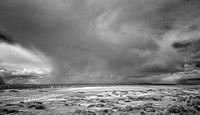
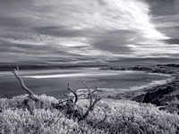
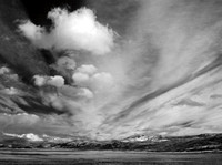
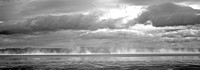
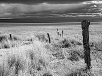
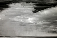
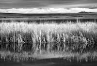
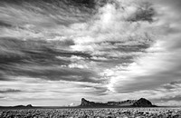
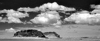
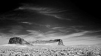
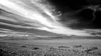
In my latest project, I am setting out to explore the remnant footprints of the great Pleistocene Epoch lakes that once covered today's northern Great Basin region. Long an explorer of Central and Eastern Oregon, I was always curious about the number of "lakes" marked on the maps that contained no water. Turns out these are evidence of the distant past, when the now arid region was covered by great shallow lakes at the end of the Ice Age, about 10,000 years ago. And, history being a common thread in most of my photography, I was lured into finding ways to photograph them.
Category:
Subcategory:
Subcategory Detail:
Keywords:
© Rich Bergeman Photography