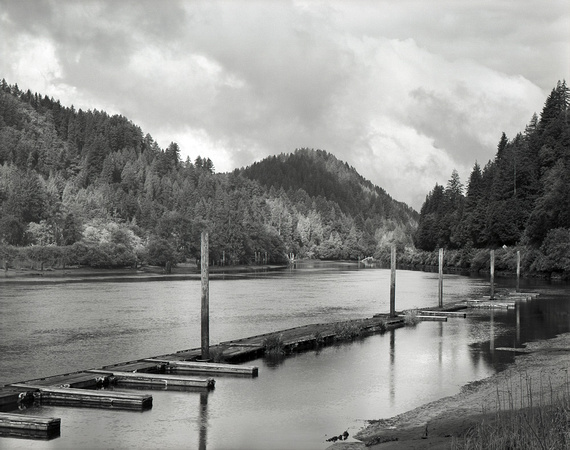
Along the Lower Siuslaw (near Tiernan Site)
River travel was the primary means of locomotion in the Siuslaw Valley for many years, for both natives and newly arriving Euro-Americans. The rugged Coast Range to the east, coastal headlands to the north, long stretches of sand dunes to the south, and a treacherous bar at the river’s mouth all combined to keep the Siuslaw Indians relatively isolated for hundreds of years. Early white settlers of the late 19th century found the going just as rough. At first they depended on the local native people for canoe transport up and down the Siuslaw and its larger tributaries. By the 1890s, small gas- and steam-powered launches became a popular mode of transportation, serving as ferries, taxis, mail boats and freight haulers. A few, like the Mink, the Robarts, and the Lillian, continued well into the 20th century, and are fondly remembered in local histories. The ease of river travel proved a double-edged sword, however; it delayed the development of roads for a longer time than in most other Coast Range valleys.